Suffolk County Wastewater Geographic Information System
County of Suffolk Department of Public Works
Suffolk County, NY
January 2013
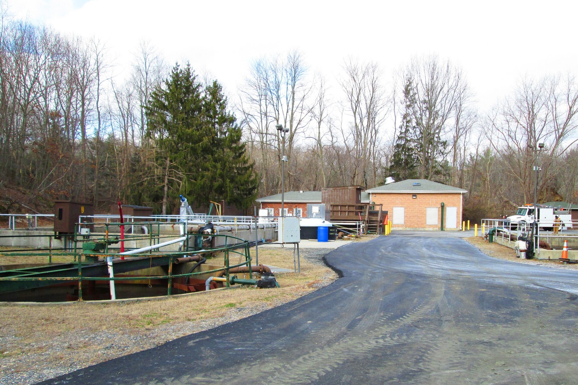
Tectonic worked with the County of Suffolk to provide mapping and surveying services for the County’s wastewater infrastructure before and after Hurricane Sandy. The mapping provided was performed using GPS receivers with Real Time Kinematic (RTK) capabilities. The data was presented in the Environmental Systems Research Institute’s (ESRI) GIS format for inclusion in the County’s GIS system. Additional surveying services Tectonic provided include measurements and inspection of the structures to ascertain the condition and direction of flow of the system, and creation of individual reports for each structure that were submitted and “hot-linked” to allow the end user to pull up the reports while viewing the GIS. Tectonic’s survey crew successfully worked through minor scheduling setbacks due to the impacts of the hurricane.